Europe Maps
Astra Jigsaw Europe Tour v.1 21
Astra Jigsaw Europe Tour is another collection of jigsaw puzzles from Lena Games, this time with some excellent photographs of Europe.
Curtis Clark Pie Charts for Maps Font v.1 1
Pie chart symbols for use as location markers on maps. There are three full sets of pies in the font. One is mapped to the upper-case letters A-U, and one to the lower case a-u .
TBO News Maps v.1.0
News Maps visually reflect news aggregated from numerous sources including Reuters, Wall Street Journal, NY Times, Washington Post, BBC, Digg, Reddit and many more news outlets from around the world.
Bing Maps v.4.0.903
Bing Maps is Microsoft flagship earth viewer product, designed to compete with the more popular Google Earth. Previously named Live Search maps, Bing maps is browser based, allowing users to watch the maps on Internet Explorer or Mozilla Firefox.
Crossfire Europe v.1 1
Crossfire Europe is an exciting, fun, freeware and action game.
Free Satellite Maps v.1
Free Satellite Maps is a free tool from Google which offers a satellite mapping service worldwide.These are accompanied by a street service, a route planner and information about business in almost all countries.
Live Satellite Maps v.1
Live Satellite Maps or Google maps is a web server mapping applications.Provides scrolling map images and satellite photos around the earth and even the route between different places.Since 6 October 2005,
Map&Guide Base Route Planner (Europe Edition) v.1.5.2.0
Map&Guide base is a brand-new type of route planner for Europe. It combines the advantages of an online route planner with those of a desktop route planner: All the route planning functions are provided via the map&guide portal.
QR Maps v.0.1.2
QR Maps is a chrome extension to display QR Codes on Google Maps. This content script extension will add a "Code" link to Google Maps pages which will display a big, scannable QR code for the location or directions you're currently looking at. It's
USA Photo Maps v.2.77
USAPhotoMaps downloads USGS (United States Geodedic Survey) aerial photos from terraserver.microsoft.com and creates scrollable, zoomable, GPS-enabled maps from them.
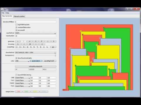
Maps coloring v.1.9
Maps coloring is a small, easy to use, Java based application specially designed to help you find a very simple pencil and paper proof of the four color problem.

Gears of War Maps v.1.0.0.0
This is the unofficial guide of the gears of war universe. Explore all multiplayer maps in an intuitive interface! Features: - No internet connection required. - 40 maps. - High Res maps. - Choose your favorite maps. - Recent maps. NOTE: THIS IS